
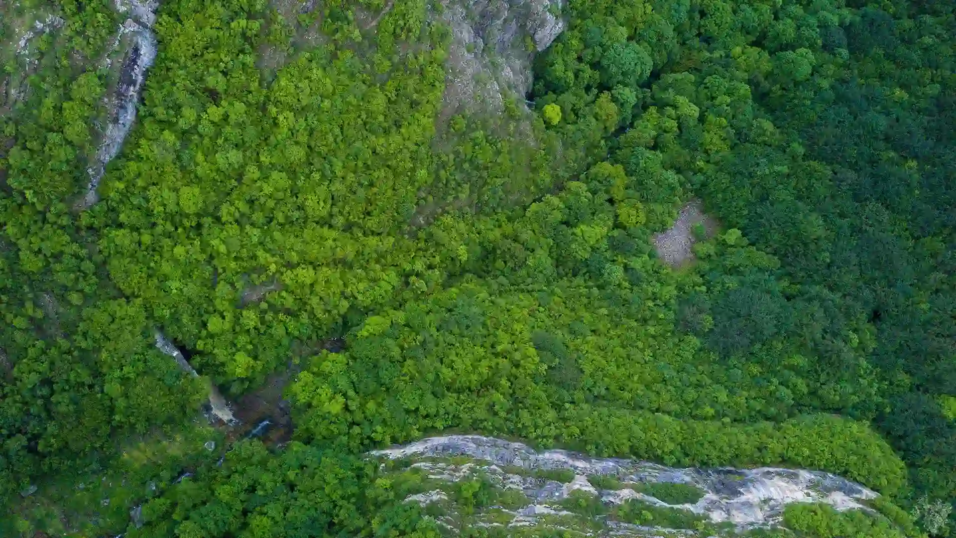
Odisha, located on the east coast of India, possesses vast forestland, housing around 10 million indigenous people and rich mineral resources. However, outdated forest land records dating back to the 19th century have hindered efficient management. The State Forest Department initiated the implementation of an Enterprise-class Web-GIS-based Decision Support System to address this issue. This ambitious program aimed to provide high-precision identification of forest parcels using IT, GIS, Remote Sensing, and Differential GPS technologies. SPARC, with its two decades of experience in digital forest management solutions, was selected as the State Level Technical Partner for this endeavor.
The program covered notified forest blocks, unclassed forest areas, national parks, sanctuaries, eco-sensitive zones, compensatory afforestation lands, and lands diverted for non-forest use. SPARC’s involvement encompassed various activities to ensure effective forest land administration.
- Development of uniform processes and standards for statewide implementation along with training and capacity building of Forest and Revenue officials
- Implementation of a cloud-deployed GIS tech-platform for integrating and interpreting forest land boundaries from existing government records
- Commissioning of a customized mobile application for publishing geo-referenced forest land boundaries and aiding field navigation and verification
- GIS integration for spatial interpretation, analysis, and finalization of forest boundary locations
- Publishing forest land parcel-wise boundary files (SHP files) for precise demarcation surveys using differential GPS
- Mapping of indigenous people’s land rights
- Commissioning of an enterprise-class Decision Support System (DSS) for forest land administration
- Implementation of Spatial Data Infrastructure (SDI) framework for forest land management
- Development of analytical modules and dashboards for various aspects of forest land involvement & management.
The system marked a significant milestone in Odisha’s journey towards effective and efficient forest & wildlife conservation; and the system currently serves as the founding block for sustainable forest management with due regards to environment conservation, indigenous people rights, mineral wealth development and mines monitoring.